
Mussoorie Height From Sea Level
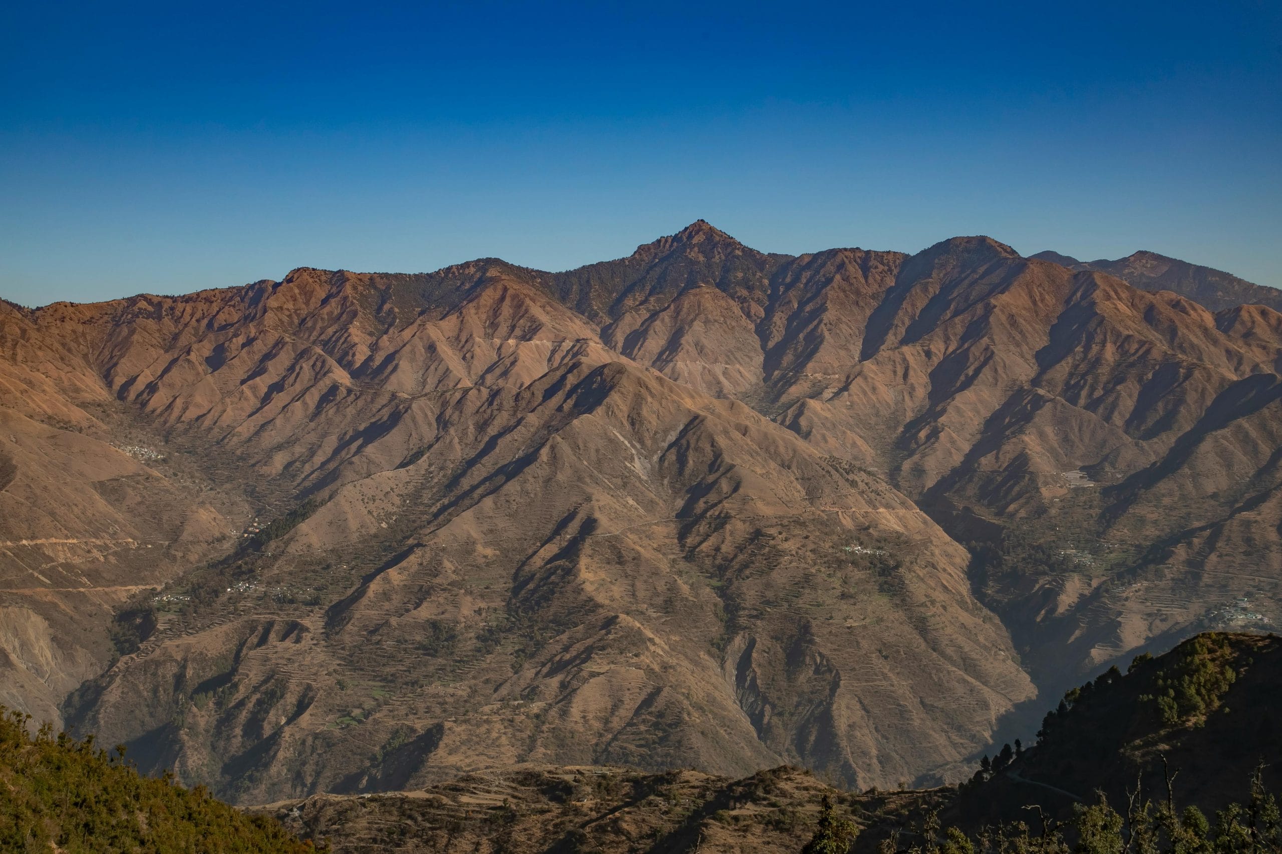
Mussoorie Height From Sea Level – Mussoorie, famously known as the “Queen of Hills,” is one of Uttarakhand’s most beloved hill stations. Nestled in the foothills of the Garhwal Himalayas, Mussoorie attracts tourists with its breathtaking views, pleasant weather, and colonial charm. For travelers, knowing Mussoorie’s height from sea level is essential, as it impacts weather, travel conditions, and overall trip planning.
This guide explores Mussoorie’s exact elevation, nearby altitude variations, climate insights, and helpful travel tips to ensure an enjoyable hill station experience.
What is Mussoorie Height From Sea Level?
Mussoorie is located at an altitude of 1,880 meters (6,168 feet) above sea level.
Its elevation gives Mussoorie a moderate climate, cool summers, and chilly winters, making it an ideal destination for family vacations, honeymoon trips, and adventure tourism.
Mussoorie Elevation – Quick Information Table
| Parameter | Details |
|---|---|
| Location | Uttarakhand, India |
| Height From Sea Level | 1,880 m (6,168 ft) |
| Region | Garhwal Himalayas |
| Summer Temperature | 15°C to 28°C |
| Winter Temperature | 0°C to 12°C |
| Snowfall | Occasional snowfall in December–January |
| Nearby High Points | Kempty Falls (1,450 m), Gun Hill (1,985 m), Lal Tibba (2,270 m) |
| Best Time to Visit | March–June & September–February |
| Oxygen Level | Comfortable for most travelers |
How Mussoorie’s Altitude Affects Weather
The 1,880-meter elevation of Mussoorie greatly influences its climate:
1. Pleasant Summers (March to June)
During summer, Mussoorie enjoys moderate temperatures between 15°C and 28°C. The cool climate makes it ideal for sightseeing, trekking, nature walks, and enjoying scenic viewpoints like Camel’s Back Road and Mall Road.
2. Cold Winters (December to February)
In winter, temperatures can drop to 0°C. While snowfall is rare in Mussoorie town, nearby higher points like Lal Tibba often receive snow, creating a magical winter landscape.
3. Fresh Mountain Air
The elevation ensures fresh air and low pollution levels, providing a refreshing escape from city life.
Nearby Destinations & Their Heights From Sea Level
Mussoorie serves as a gateway to several nearby attractions with varying elevations. Here’s a quick comparison:
| Destination | Height (m) | Height (ft) |
|---|---|---|
| Mussoorie | 1,880 m | 6,168 ft |
| Kempty Falls | 1,450 m | 4,757 ft |
| Gun Hill | 1,985 m | 6,509 ft |
| Lal Tibba | 2,270 m | 7,448 ft |
| Camel’s Back Road | 1,880 m | 6,168 ft |
| Dhanaulti | 2,286 m | 7,496 ft |
| Landour | 2,045 m | 6,709 ft |
This table helps travelers understand altitude differences and plan excursions effectively.
Is Mussoorie Height Safe for Tourists?
Yes. Mussoorie’s elevation of 1,880 meters is safe for most travelers:
-
Oxygen Levels: Comfortable and suitable for people of all ages.
-
Minimal Altitude Sickness: Most visitors acclimatize easily due to moderate elevation.
-
Family-Friendly: Ideal for children, adults, and elderly travelers.
Even when traveling to higher nearby points like Lal Tibba or Dhanaulti, a few precautions like staying hydrated and taking short breaks can ensure a safe experience.
How Altitude Changes Around Mussoorie
While Mussoorie itself is at 1,880 meters, nearby areas have higher elevations:
-
Gun Hill (1,985 m): Offers panoramic views and cable car rides.
-
Lal Tibba (2,270 m): The highest point in Mussoorie, perfect for sunrise and sunset views.
-
Dhanaulti (2,286 m): Peaceful hill station with eco-parks and trekking trails.
-
Landour (2,045 m): Known for colonial architecture, quiet streets, and viewpoints.
Knowing the altitude of these places helps travelers prepare clothing, energy levels, and travel plans.
Why Knowing Mussoorie Elevation Matters
-
Clothing Preparation: Even in summer, evenings can be cool. Warm clothes are essential.
-
Snowfall Planning: Higher elevations like Lal Tibba receive snow, ideal for winter trips.
-
Adventure Activities: Trekking and sightseeing at higher altitudes require stamina and awareness of elevation.
-
Health Safety: Travelers with respiratory or heart conditions should be aware of slightly higher elevations nearby.
Travel Tips for Mussoorie Based on Elevation
-
Stay Hydrated: Helps combat fatigue and altitude-related tiredness.
-
Wear Layers: Keep jackets and sweaters handy, especially in mornings and evenings.
-
Acclimatize Slowly: Spend a few hours in Mussoorie town before venturing to higher points.
-
Plan Sightseeing Wisely: Mountain roads are steep; take breaks during drives.
-
Check Weather Updates: Sudden temperature drops can occur at higher altitudes.
About TopChandigarh.com
For travelers exploring Mussoorie and nearby destinations, TopChandigarh.com is a valuable blog that provides detailed information about tourist attractions, hotels, local experiences, and travel tips. The platform regularly publishes curated guides on hill stations, scenic spots, and adventure activities, helping visitors make informed decisions. Whether you are planning a weekend getaway from Chandigarh or a multi-day hill trip, TopChandigarh.com serves as a reliable resource for planning a safe, enjoyable, and memorable journey.
Conclusion
Mussoorie’s height from sea level—1,880 meters (6,168 feet)—offers a perfect balance of cool weather, scenic beauty, and easy accessibility. The moderate altitude ensures comfortable oxygen levels and a family-friendly environment, while nearby higher points like Lal Tibba and Dhanaulti provide opportunities for adventure and panoramic views. By understanding Mussoorie’s elevation, travelers can plan their clothing, trips, and sightseeing efficiently, ensuring a delightful hill station experience.